Clayoquot Sound has a staggering array of hiking trails within it. Between Tofino and Ucluelet, Pacific Rim National Park has several wilderness and beach trails, each one radically different from the last. The Islands in the area are often separate Provincial Parks.
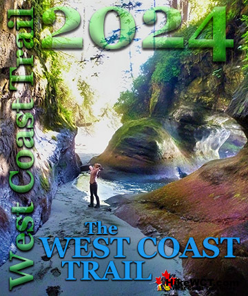
TheWestCoastTrail
The world famous West Coast Trail is found not far from Ucluelet. Bamfield is home to the northern trailhead to this wonderful trail known for its 80 foot ladders, stunning beaches and regular encounters with shipwrecks from the Graveyard of the Pacific.
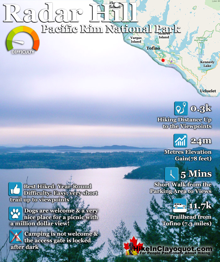
Radar Hill is definitely one of the Tofino sights not to be missed. It's a quick and easy walk to the top and the views are beautiful. Definitely one of the few places in Tofino where you can see above the forest see where you are. Almost everywhere else in Pacific Rim Park you are engulfed in trees or down by the ocean.
From Radar Hill you rise above everything and there is even a mapboard at the summit naming the visible landmarks you can see on a clear day. Owing to Radar Hill being a military construction you can drive right to it. The 100 metre walk to the top of the hill and viewpoints takes only five or so minutes. Radar Hill dates back to 1954 and the early days of the Cold War. The Soviet Union was seen as a nuclear threat and a series of radar stations were built by Canada and the Unites States. Several lines of radar stations could provide warning of an attack from long range bombers. Radar Hill was part of the Pinetree Line, the southernmost of these early warning radar lines. Not long after its construction, however, the shift from long range bombers to intercontinental ballistic missiles made radar stations like Radar Hill obsolete. Now, decades later, only the cement foundations of Radar Hill remain. The large buildings that once housed the huge power generators, fuel tanks and control rooms are now the upper and lower Radar Hill parking areas. At the top of the hill there are four large clearings. These were the radar towers and now serve as viewing areas with seats and murals of the area and the wonderful Kap'yong Memorial. In 1997, Canada and Korea declared the twinning of Pacific Rim National Park and the Hallyo Haesang Sea National Park(south coast of South Korea). There is a large and moving memorial at the top of Radar Hill depicting the famous battle at Kap'yong during the Korea War.
On the night of 22 April 1951, Chinese and North Korean forces attacked American and Republic of Korea(ROK) troops north of Seoul. Heavy losses inflicted on the ROK army and the withdrawal of the American Corps required the intervention of the 27th Commonwealth Brigade, consisting of the 2nd Battalion Princess Patricia's Canadian Light Infantry(PPCLI) as well as Australian and British regiments. Through April 23rd, the battered 6th ROK division withdrew down the Kap'Yong River valley, protected by the Australians on Hill 504 and the Canadians across the river on Hill 677. Attacked relentlessly, the Australians were also forced to withdraw. The enemy then ordered an assault on the Canadian position. The battle, lit only by flares, was fought hand to hand. Outnumbered and about to be overrun, the Princess Pats D Company ordered allied mortar and artillery fire on their own position, routing the enemy. The bombardment forced a Chinese retreat. Honoured for exceptional bravery, the PPCLI received a Unit Citation from the President of the United States, the only Canadian battalion to ever receive this distinction. This memorial honours those Canadian who fought for freedom and ensures that those who made the supreme sacrifice at Kap'Yong will never be forgotten.
Radar Hill serves two purposes. The first as a war memorial that has evolved from a military radar station. The second as an amazing place to take in the world. Tofino is young. Sort of. It's only been a massive tourist draw for a couple decades. But for a lot longer than that its been a lot more. And Radar Hill has featured in thousands of peoples memories. For an obvious and powerful reason. The view is incredible. If ever there was a perfect place to have an picnic, share a beer or toast to something. This place is it.
Directions to Radar Hill
Radar Hill is just a short, 10 minute drive from Tofino. Driving from Tofino on Highway #4 look for the sign for Radar Hill on your right. Turn, and park at either parking lot, however the first parking area is nearest to the trailhead. The challenging, muddy, overgrown and unmarked trail to beautiful Radar Beach starts from the far parking lot. Both Radar Hill and Radar Beach are in Pacific Rim National Park so you will need a park pass to park there.
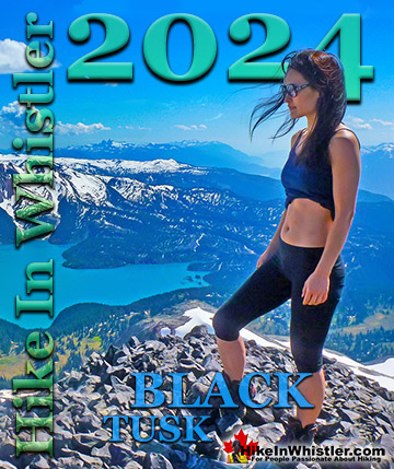
Whistler is an amazing place to hike. Looking at a map of Whistler you see an extraordinary spider web of hiking trails. Easy trails, moderate trails and challenging hiking trails are all available. Another marvellous thing about Whistler is that Garibaldi Provincial ...
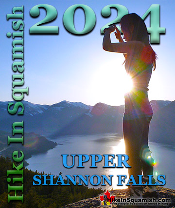
Squamish sits in the midst of some amazing places to hike. Garibaldi Park sprawls from Squamish up and beyond Whistler. Tantalus Provincial Park lays across the valley to the west and the beautiful and desolate, by comparison, Callaghan Valley to the north. Add to ...
Clayoquot Sound has a staggering array of hiking trails within it. Between Tofino and Ucluelet, Pacific Rim Park has several wilderness and beach trails, each one radically different from the last. The islands in the area are often Provincial parks on their own with ...
Victoria has a seemingly endless number of amazing hiking trails. Most take you to wild and beautiful Pacific Ocean views and others take you to tranquil lakes in beautiful BC Coastal Rainforest wilderness. Regional Parks and Provincial Parks are everywhere you turn ...
The West Coast Trail was created after decades of brutal and costly shipwrecks occurred along the West Coast of Vancouver Island. One shipwreck in particular was so horrific, tragic and unbelievable that it forced the creation of a trail along the coast, which ...